Lafayette, Colorado
• City
•
About:
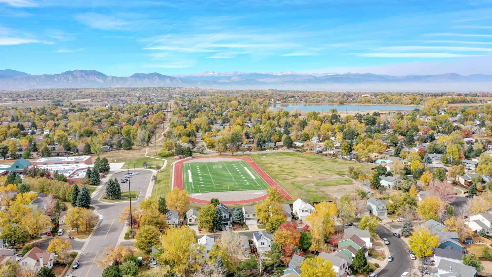
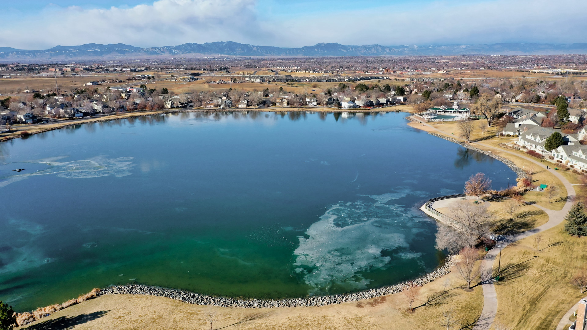
The City of Lafayette is a Home Rule Municipality located in Boulder County, Colorado, United States. The city population was 24,453 at the 2010 United States Census.
Lafayette is located in southeastern Boulder County. It is bordered by the town of Erie to the north and east, by the city of Broomfield to the east and south, and by Louisville to the southwest. U.S. Highway 287 is the main road through the city, leading north to Longmont and south to Broomfield and Denver. State Highway 7 leads east from Lafayette to Brighton and west to Boulder. There is also an exit off Interstate 25 to the city.
According to the United States Census Bureau, Lafayette has a total area of 9.6 square miles (24.9 km2), of which 9.5 square miles (24.5 km2) is land and 0.15 square miles (0.4 km2), or 1.50%, is water.
Elevation: 5,210 ft (1,588 m)
ZIP codes: 80026
ZIP codes: 80026
Lafayette, Colorado, USA


Property Address:
Lafayette, Colorado
Property Short URL:
Property URL:
https://realty360view.com/city/lafayette-colorado/
Photos & Floor Plans:
Video:
Vimeo:
Youtube:
Interior 360 Tour:
Exterior 360 Tour:

